
Boston ZIP Coverage by Neighborhood
Boston delivery areas follow neighborhoods closely in many places, but not perfectly. The City’s neighborhood-to-ZIP material places Beacon Hill and Downtown in 02108, the North End in 02113, the South End in 02118, Roxbury across 02119 and 02121, and Dorchester across 02122, 02124, and 02125. Other familiar matches include Jamaica Plain in 02130, Roslindale in 02131, West Roxbury in 02132, Allston in 02134, Brighton in 02135, and Hyde Park and Readville in 02136. These are useful ways to group a search, while an individual delivery address still needs an address-level check.
| ZIP | Boston area or use | Post office context | Delivery note |
|---|---|---|---|
| 02108 | Beacon Hill/Downtown | Boston/Downtown | Ordinary central delivery area |
| 02109 | Financial District/North End | Boston/Downtown | Delivery points, not city geometry, set the edge |
| 02110 | Financial District/Waterfront | Boston/Downtown | Central commercial and residential delivery |
| 02111 | Chinatown/Leather District | Boston/Downtown | South-central delivery area |
| 02113 | North End | Boston/North End | Neighborhood delivery area |
| 02114 | Beacon Hill/West End | Boston/Downtown | Neighborhood boundary matters |
| 02115 | Fenway | Boston/Fenway | Fenway and medical/academic area |
| 02116 | Back Bay | Boston/Back Bay | Ordinary delivery area |
| 02118 | South End | Boston/South End | Ordinary delivery area |
| 02119, 02121 | Roxbury | Boston/Roxbury | Two ordinary delivery areas |
| 02120 | Mission Hill | Boston/Mission Hill | Ordinary delivery area |
| 02122, 02124, 02125 | Dorchester | Boston/Dorchester | Three ordinary delivery areas |
| 02126 | Mattapan | Boston/Mattapan | Ordinary delivery area |
| 02127 | South Boston | Boston/South Boston | Includes waterfront transition areas |
| 02128 | East Boston | Boston/East Boston | Ordinary delivery area |
| 02129 | Charlestown | Boston/Charlestown | Ordinary delivery area |
| 02130 | Jamaica Plain | Boston/Jamaica Plain | Ordinary delivery area |
| 02134 | Allston | Boston/Allston | Ordinary delivery area |
| 02135 | Brighton | Boston/Brighton | Ordinary delivery area |
| 02136 | Hyde Park/Readville | Boston/Hyde Park | Ordinary delivery area |
| 02210 | South Boston Waterfront | Boston/Seaport | Distinct from 02127 |
| 02215 | Fenway/Kenmore | Boston/Fenway | Academic, medical, and ordinary delivery mix |
| 02467 | Chestnut Hill and part of Boston | Brookline/Chestnut Hill | Crosses the Boston line |
The table is a neighborhood aid, not a resident roll. The City’s current ZIP reference also separates routine delivery areas from codes used for central, PO-box, institutional, or special delivery. An address in 02467 is the clearest local warning: that code includes Chestnut Hill and a portion of Boston. Use a parcel or municipal-boundary source before assigning an address to a jurisdiction.
Note: A ZIP can narrow a Boston search, but it does not establish who occupies an address or which government office holds its record.
Boston’s Special Delivery ZIPs
Central Boston includes codes that should not be treated as normal neighborhood polygons. The 02101–02107 range is used for central, PO-box, and institutional purposes. The City similarly identifies 02112, 02117, 02123, 02133, and 02196 as special delivery uses. Codes from 02201 through 02212, along with 02216–02217, 02222, 02228, 02293, and 02295, need address verification before a neighborhood is assigned. 02228 has an East Boston association in the City material, while the remaining special codes are not reliable substitutes for a parcel location.
Some exceptions have a more focused purpose. 02163 is tied to Allston and Harvard-related delivery, 02199 serves the Prudential Center and Back Bay area, and 02203 serves Government Center. A code may identify a campus, office complex, central service, or another unique delivery point. For a Boston postal-area search, retain the code as a mailing clue and use the full street address to decide whether a city parcel record applies.
Boston ZIP Mapping Changes
MassGIS explains its five-digit ZIP data, including the March 2024 edits made with USPS address information.
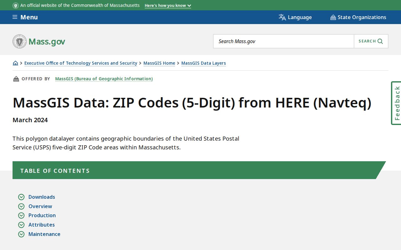
Those Boston edits added 02199 and 02203 polygons and made smaller changes to 02108 and 02114, so an older Boston map can disagree with the current MassGIS layer.
MassGIS says its Boston boundaries are approximate and may change. The layer is built around points of delivery, not a promise that every Boston delivery area forms one continuous shape. Its fields include POSTCODE, PC_NAME, PC_TYPE, PA_NAME, CITY_TOWN, COUNTY, and area. PC_TYPE distinguishes non-unique, PO BOX, and UNIQUE ORGANIZATION uses. Census ZIP Code Tabulation Areas are a different geographic product, so they should not be substituted for a Boston delivery check.
Find Residents by Boston ZIP
Use a postal area to organize an address search, not to produce a list of people. Boston Property Lookup does not accept a ZIP filter or an owner-name search. It accepts a situs address or the ten-digit parcel identifier. The City’s parcel service can contain ZIP information where available, and the GIS layers can be compared with ward, precinct, neighborhood, zoning, flood, and parcel relationships. The statewide voter status form accepts a mailing ZIP only within an individual status check.
- Confirm the full delivery address and retain its neighborhood name with the Boston ZIP.
- Find the parcel through Boston Property Lookup using the street address or parcel identifier.
- Compare the parcel with the GIS layer, then record the parcel, ward, precinct, and postal area as separate fields.
- For a named voter’s own status check, use the registered name, date of birth, and residential ZIP in the state form.
- When the area has narrowed to a street, use the address-focused Boston street directory trail rather than assuming the ZIP supplies a street-level list.
A ZIP filter is not available in every local portal. The practical fallback is address first, parcel second, then a deed, permit, or historical source matched to the same location. That sequence also helps distinguish a tax mailing address from the Boston situs address.
Boston ZIP Search Keys
The Massachusetts voter tool is the official search in this group that asks for ZIP as an input. It is an individual-status form, not a general directory. The state’s tips recommend trying the registered name rather than a nickname, using the former ZIP after a move, allowing two or three weeks after a new registration, and contacting the local election official when the form does not find a record. The central voter registry’s names and addresses are restricted by Massachusetts law.
| State status form field | Input and use |
|---|---|
| First and last name | Enter the name used at registration. |
| Date of birth | Select month, day, and year for the individual status check. |
| ZIP code | Enter the five-digit residential mailing ZIP. |
| Agreement checkbox | Confirm the form is being used for the individual voter’s status. |
Boston’s parcel layer is the complementary data source when an address needs map context and a postal attribute.
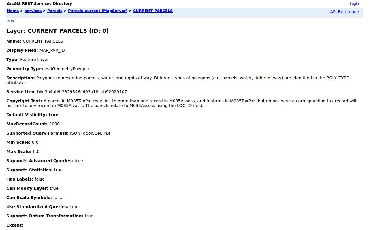
The layer exposes parcel identifiers and polygon data, which makes it more useful for checking an address than for a broad people search.
Boston ZIPs and City Limits
Postal geography and municipal geography answer different questions. A city ZIP can extend beyond Boston, and a Boston address can be best understood through a former-town or neighborhood record rather than a postal label. 02467 illustrates the first problem because it serves Chestnut Hill and a portion of Boston. The parcel record, municipal boundary, ward, and precinct are stronger tools for confirming where an address sits. A ZIP remains useful for delivery and for portals that request it as an input.
- ZIP versus ZIP+4
- The five-digit ZIP sorts a delivery area. ZIP+4 adds a more precise delivery segment such as a block face, building, or internal route.
- PO-box ZIP
- A delivery code used for post-office boxes may not describe the street area around a recipient.
- Unique ZIP
- A code associated with one large organization or concentrated delivery use. It is not proof of municipal jurisdiction.
- Carrier route
- A postal delivery grouping within a broader ZIP, useful for mail operations but not a city boundary.
Boston ZIPs in Former Towns
Older records use a geography that predates today’s delivery system. South Boston joined Boston in 1804, East Boston in 1836, Roxbury in 1868, Dorchester and Mattapan in 1870, several West Roxbury-area communities in 1873–1874, and Hyde Park in 1912. A directory, deed, tax book, or map may therefore name a former town where a current address is called Boston. The old name should travel with the street name during historical research.
Street numbers can also break the trail. A historic number may have been renumbered, a street extended, or an earlier directory arranged under another municipality. Match the old reference to a Sanborn atlas, parcel shape, deed legal description, and the directory’s street section. That approach is more dependable than attempting to carry a modern ZIP backward into a period before its delivery arrangement existed.
Note: Keep the former-town name, current neighborhood, street spelling, and parcel identifiers together when comparing Boston records from different eras.
Boston Postal Research Boundaries
A mailing area can help sort records, but it does not turn a public source into an occupancy list. Boston’s property display may show owners and a tax mailing address, while the site address identifies the parcel. Those fields can differ. Multi-unit parcels, trusts, condominium records, and changing ownership can make the difference especially important. The voter status form is deliberately limited to the individual voter, and the City does not publish a normal ZIP-wide resident browse through Property Lookup.
When a delivery result and a Boston record conflict, save both details and ask the custodian which field governs that record. The Massachusetts Public Records Law, M.G.L. c. 66 § 10, can provide a route for a focused request to the proper agency, subject to exemptions and protected addresses. A written response is generally due within ten business days, but privacy statutes can limit what is released.